

A Sub-surface intelligence platform
that transforms a simple field sounding into a fully quantified geological, hydrological, and geotechnical assessment — automatically.
“It detects and defines geological formations, quantifies their elastic properties, maps out groundwater aquifers, hydrological properties and yields, and delineates resources like minerals, oil, gas and geothermal reservoirs.
In Short, it's like having a geophysicist in your pocket"
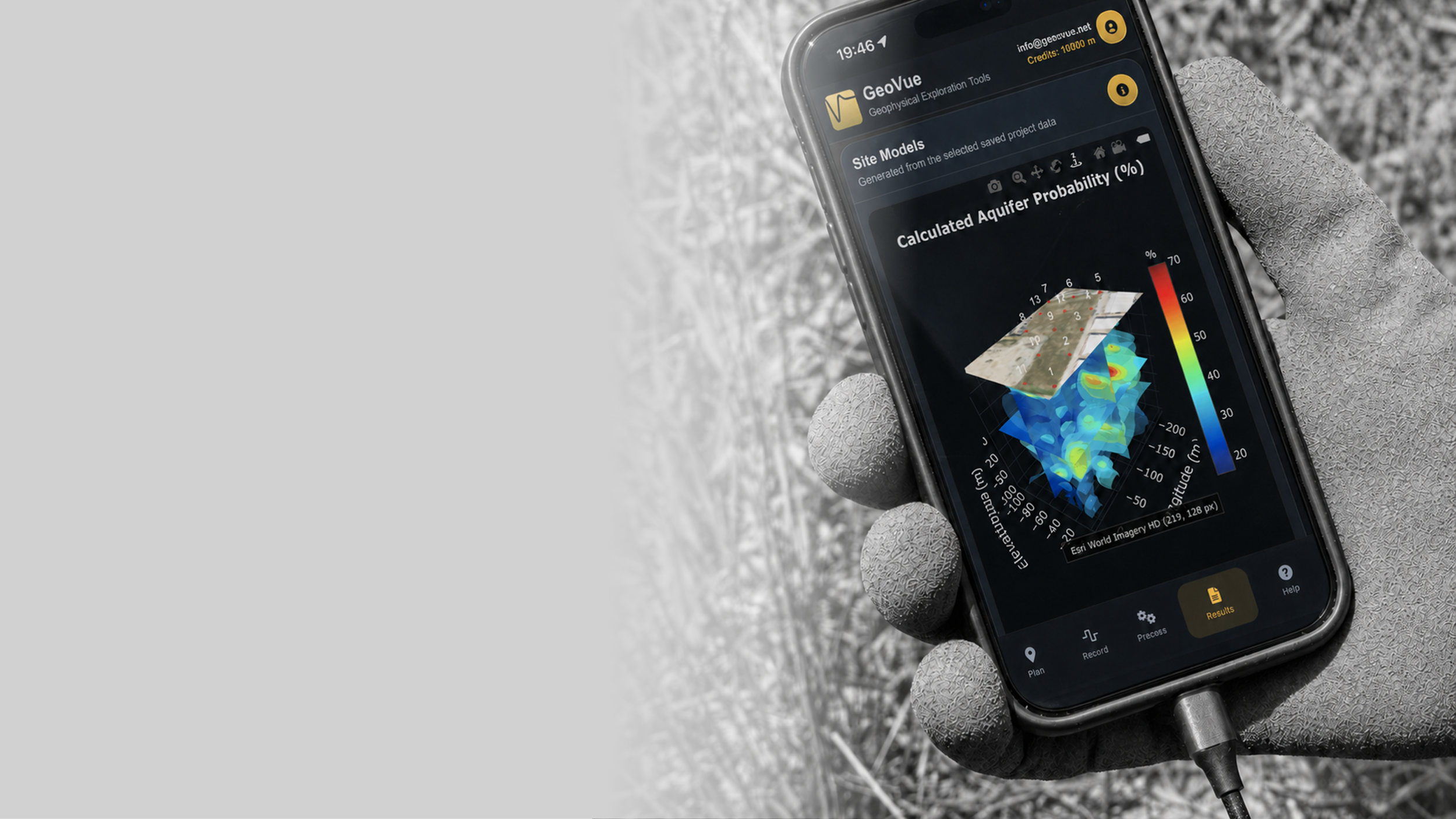
GeoVue is a low cost, rapid deployment, fully automated, AI-enhanced geophysical exploration platform that turns a simple field recording into a detailed underground analysis. Using just a smartphone, two steel pins as electrodes, and an impulse type seismic source, GeoVue captures subsurface signals and automatically processes, interprets, and generates a professional report with 86 quantified geological, groundwater, and geotechnical parameters — including predicted drill depth and expected well yield.
GeoVue simplifies subsurface investigation by delivering fast, data-driven decisions without requiring geophysical expertise.
Why use GeoVue?
-
You don’t have to take our claims at our word, the app is free to use with a 60 meter depth of investigation limit and only hydrological data sets. Other than that, use it as much as you want.
-
Processing is charged at $0.20 per running metre. Traditional geophysical surveys can cost thousands. GeoVue delivers the same quantified underground analysis at a fraction of that cost, accessible to any budget.
-
GeoVue can be operated by anyone who can use a smartphone. Place two ground pins, strike the surface, record. The system handles the science. No specialist training, no geophysical background needed.
-
Drilling a water well, purchasing land, or developing property involves significant financial risk. GeoVue provides subsurface insight before major decisions are made, helping avoid costly mistakes.
-
Equipment requirements are minimal — a smartphone, two steel ground pins, and a simple cable. Firms can deploy multiple field teams with low capital investment, increasing survey volume and geographic coverage without proportionally increasing staff or overhead.
-
Understanding groundwater yield, geothermal potential, mineral interfaces, or ground stability enhances the strategic value of land holdings and supports better negotiation, planning, and investor confidence.
-
Multiple properties can be evaluated rapidly without large survey crews or public field campaigns, maintaining discretion while accelerating due diligence.
-
Offering fast, data-driven subsurface analysis differentiates firms in competitive markets, allows small operators to compete with established consultancies from day one, and positions businesses as technology-forward service providers.
See it in Action
A Demonstration video showing how the GeoVue data can be used to map out a site geology, hydrogeology and make recommendations for groundwater drilling using A.I as a support tool
Evaluate Geovue, at no cost
You may test the GeoVue app at no cost for as long as you like. Depth and data limitations apply.
Simply create an account, then use the app to record and process your data following the steps below.
It is really that simple.
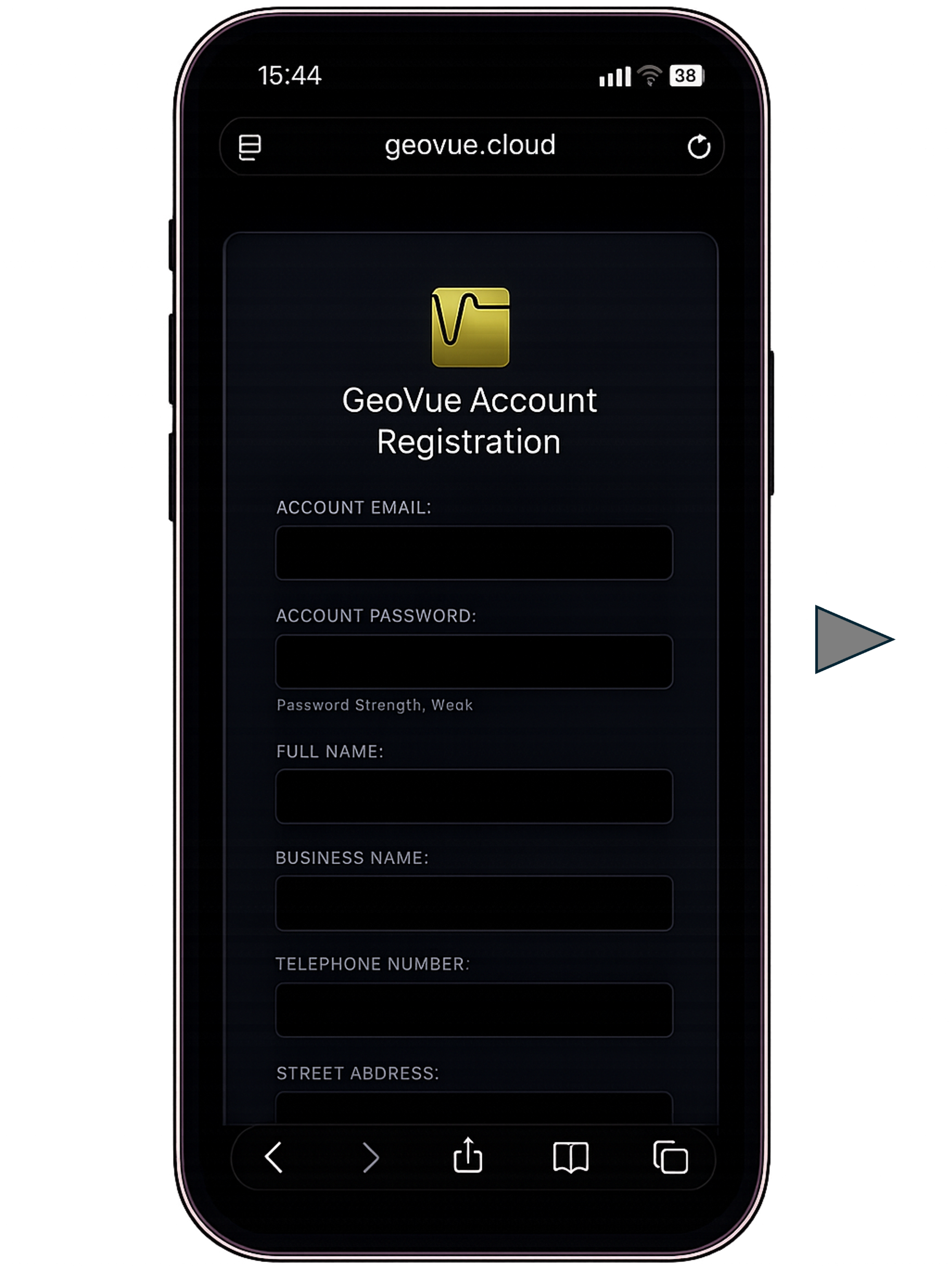
STEP 1 - If you do not already have a GeoVue Account, Create one using our account registration page. Click the image to load the page.
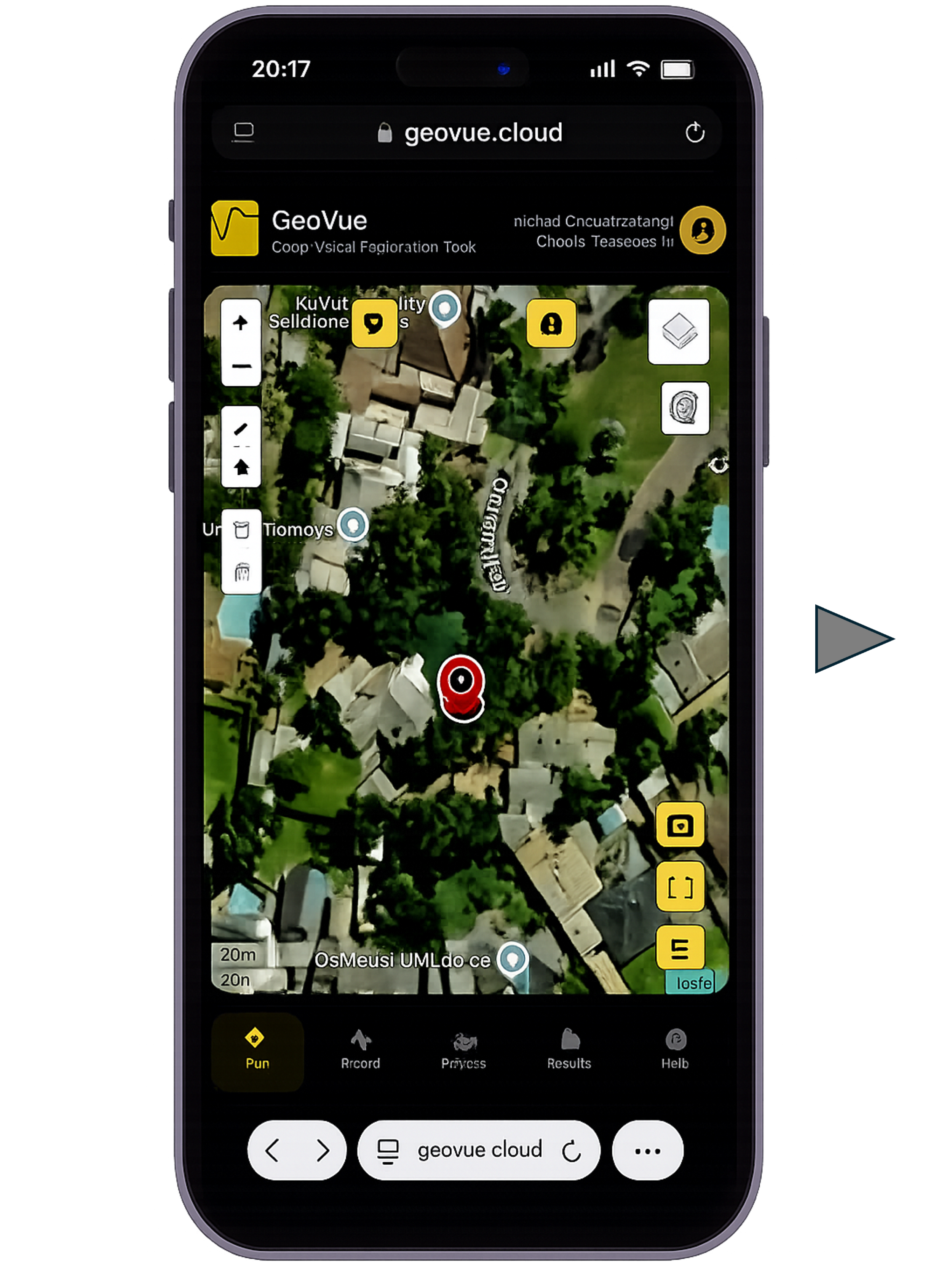
STEP 2 - Open the GeoVue app, by clicking in the image. The app allows you to record and process your project field data. When processing is complete it will allow you to view the data and download a report to your device.
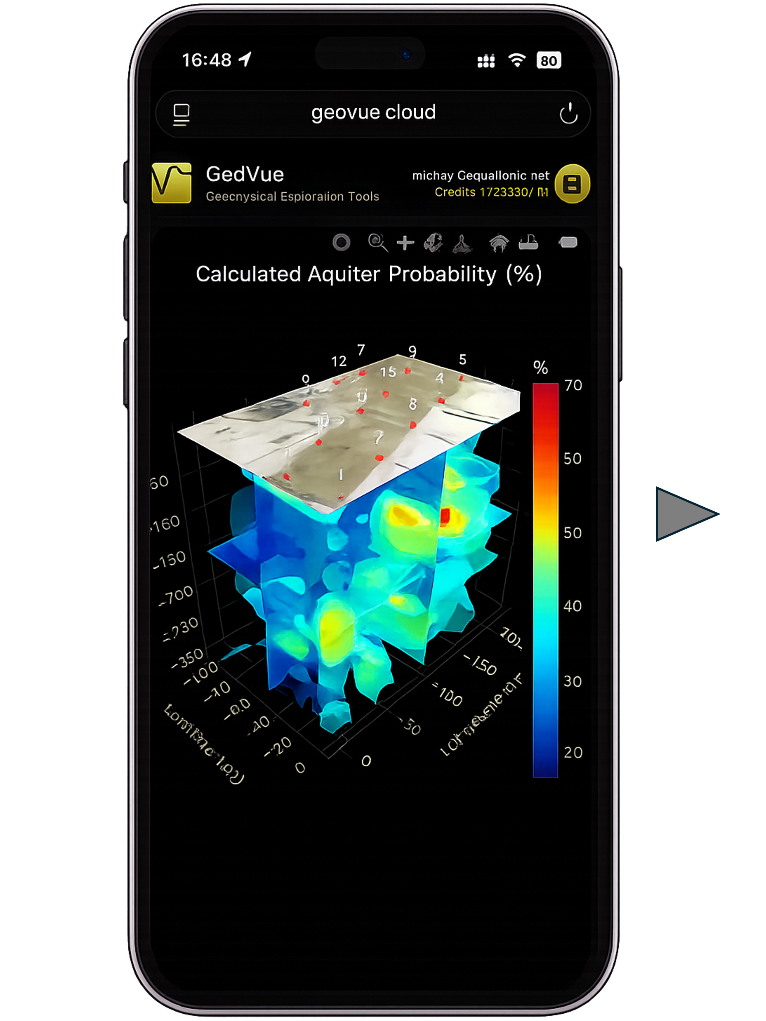
STEP 3 - Open the "Results" tab in the app or open the report downloaded to your device on any internet browser. Both the app and report use fully interactive 1D, 2D, 3D models to show your data including recommendations and virtual well logs.
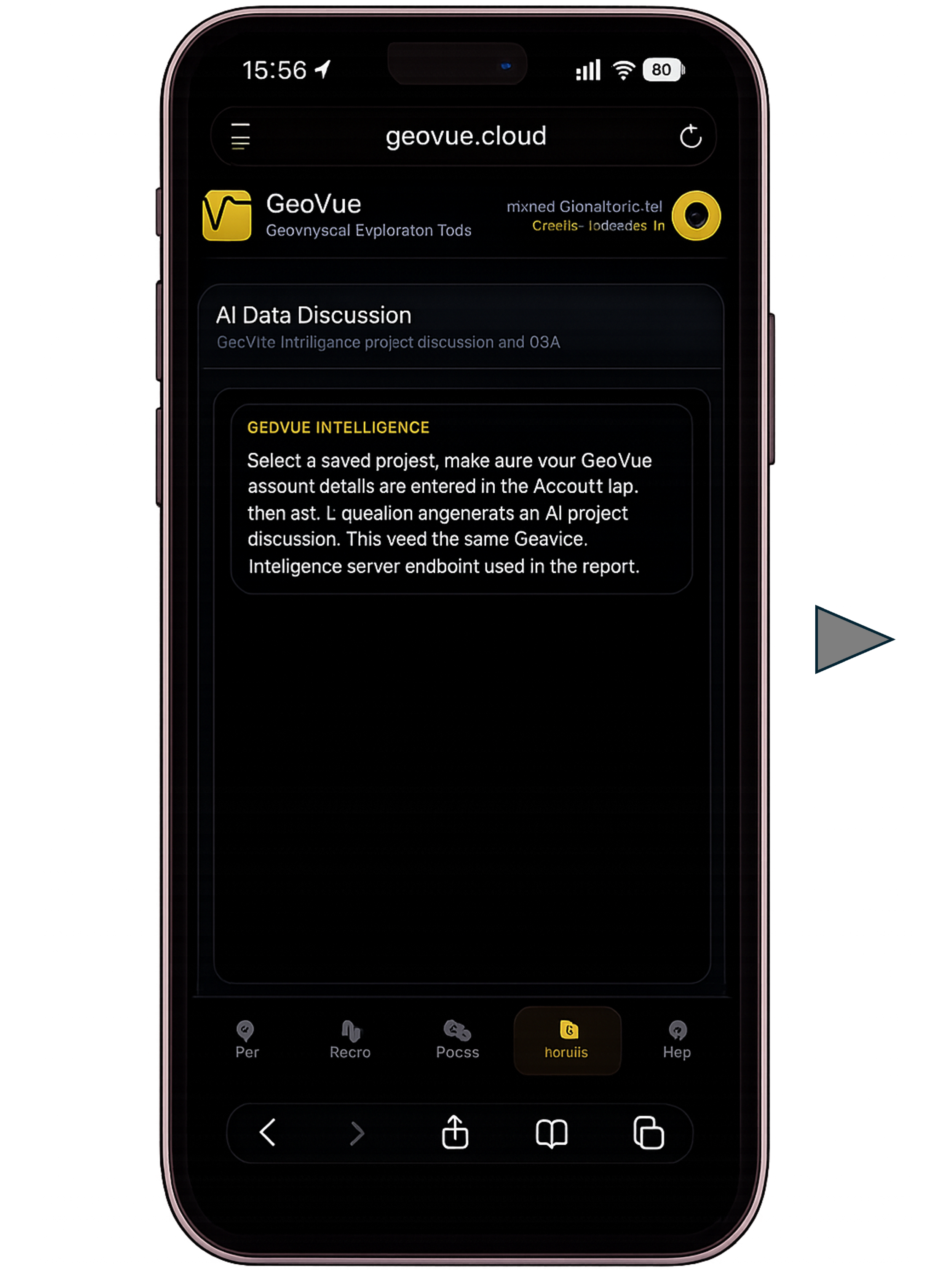
STEP 4 - The app and report has A.I. Built straight into it. You can ask it anything about the data in the report and it will provide answers like a professional geophysicist would. You will need some purchased credits to use this feature though. A.I. Inference is not free unfortunately.
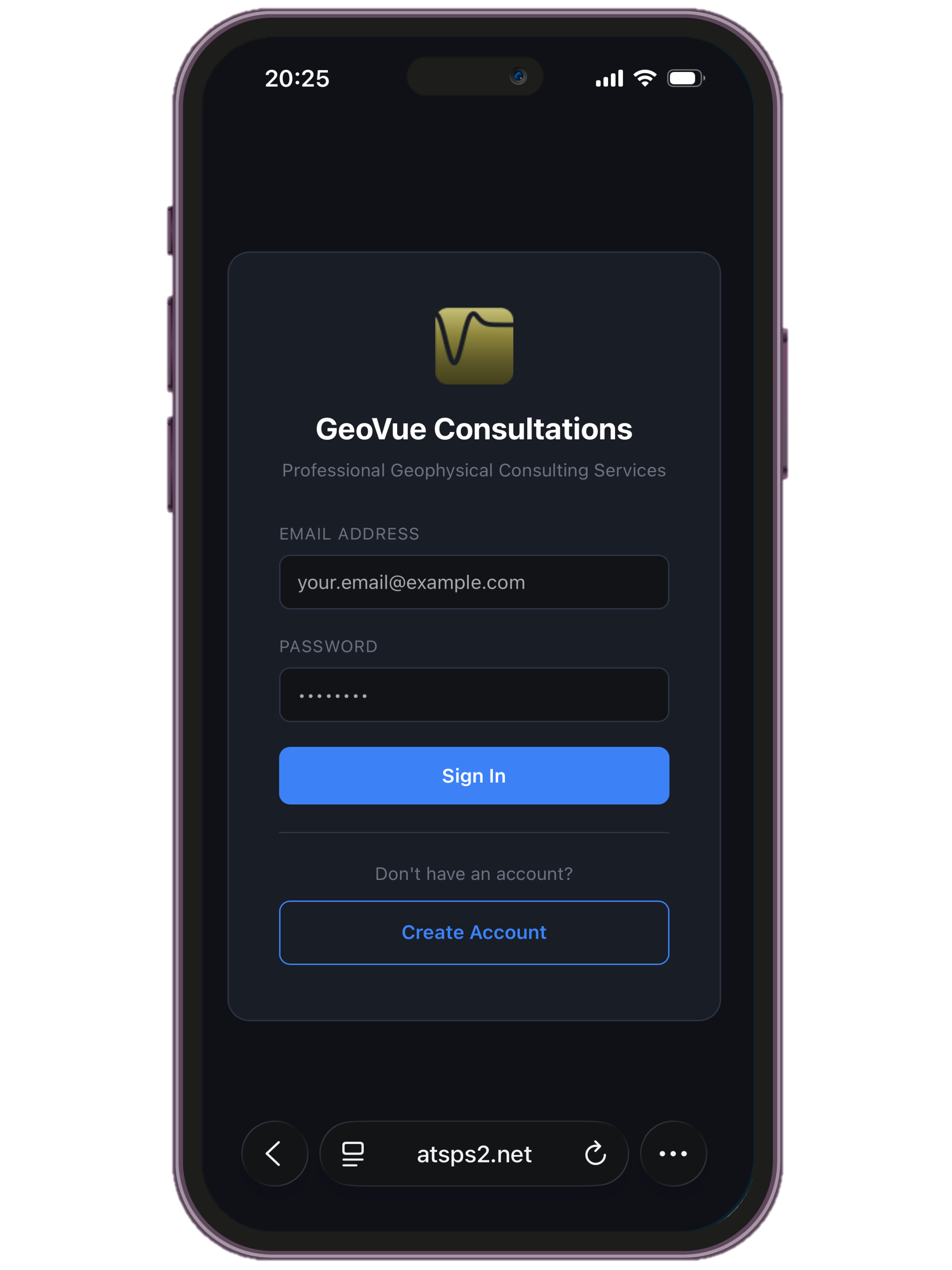
STEP 5 - If the A.I. is insufficient for your enquiry needs, you may book a consultation with a qualified GeoVue consultant who will answer you more complex questions. Click on the image to open the consultation page.
What makes GeoVue Unique?
-
With over 200,000 surveys completed and more than 10,000 wells drilled based on GeoVue recommendations, the platform has demonstrated an 87% groundwater drilling success rate, with an independently verified 0.87 correlation between predicted and tested well yields.
-
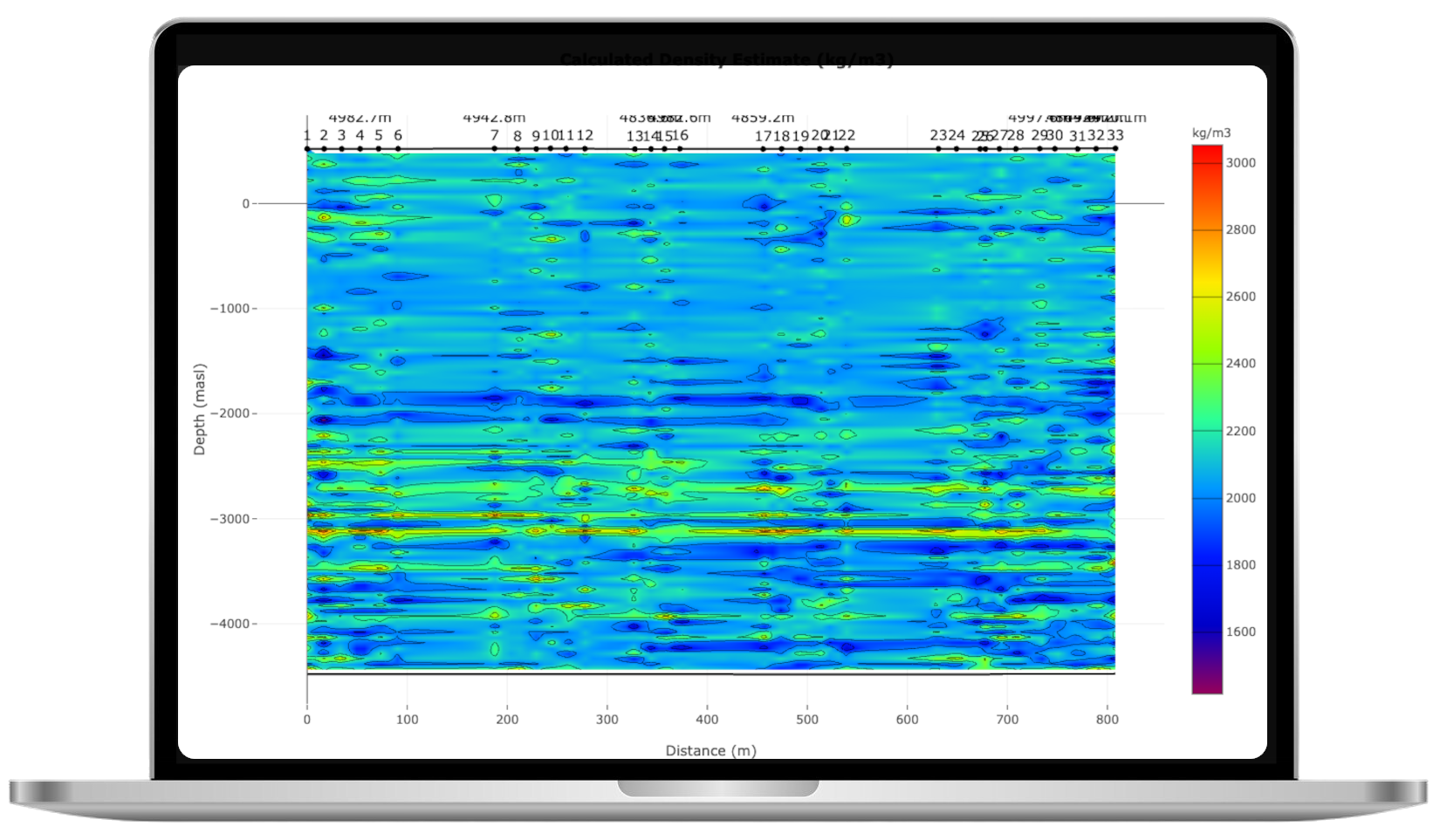
A single short recording produces a comprehensive subsurface model including lithology, porosity, permeability, resistivity, formation temperature, aquifer probability, hydrocarbon indicators, elastic properties, and predicted groundwater yield.
-
A single sounding takes only seconds to record and results are generated within minutes. No multi-day field campaigns, no post-processing delays, no waiting for specialist interpretation — enabling real-time decision-making on site.
-
From the moment data is recorded, calibration, filtering, inversion, analysis, reporting, and recommendations are handled automatically. No manual processing, no parameter selection, no expert interpretation required.
-
AI is used to evaluate data for lithology types and drilling recommendations. Users can also query their results directly through an integrated chat interface, getting instant interpretation and guidance based on site-specific findings.
-
GeoVue operates from near-surface geotechnical applications to depths of up to 5000 meters using higher-energy sources, covering groundwater, geothermal, oil recovery, environmental, mining, and infrastructure applications.
Who will benefit?
-
Improve Drilling Success Rates
GeoVue provides predicted drill depth and expected yield before drilling begins, reducing the number of failed wells and improving operational efficiency.Increase Revenue Per Client
Offering pre-drill subsurface intelligence differentiates drilling companies from competitors and allows them to provide a premium, value-added service.Reduce Equipment Idle Time
Higher drilling accuracy means fewer dry holes and faster completion times, maximizing rig utilization and profitability.Build Trust and Reputation
Consistent well success improves customer satisfaction and long-term referral business. -
Enter the Geophysical Market with Minimal Capital Investment
Traditional geophysical businesses require significant upfront investment in equipment and specialist personnel. GeoVue removes that barrier. With minimal hardware requirements and automated processing, small startups can enter the subsurface services market without heavy capital expenditure.Compete with Established Firms from Day One
GeoVue provides automated interpretation, professional reporting, and quantified subsurface parameters that allow small operators to deliver results comparable to larger, established consultancies — without needing a full team of geophysicists.Penetrate Underserved Local Markets
Many regions lack access to affordable geophysical services due to high equipment and mobilization costs. GeoVue enables local operators to provide groundwater, construction, environmental, and resource mapping services within their own communities — unlocking new regional demand.Scale Gradually and Profitably
Because hardware costs are low and processing is usage-based, startups can scale operations in line with revenue growth. There is no requirement for large upfront investment in equipment fleets or specialist staff.Diversify Revenue Across Multiple Industries
A single GeoVue deployment can serve water drilling, construction, environmental assessment, mining, geothermal, and agricultural markets — allowing small businesses to build multiple income streams within one region.Focus on Business Development — Not Data Processing
With acquisition and reporting automated, small operators can focus on client relationships, regional expansion, and market development instead of spending time on complex data processing and interpretation. -
Increase Project Throughput Without Increasing Staff
Automated acquisition and reporting allow firms to complete more surveys in less time without hiring additional specialists, directly improving margins.Lower Capital Equipment Costs
GeoVue requires minimal hardware investment, eliminating the need for expensive geophysical equipment and reducing financial barriers to scaling operations.Offer Expanded Services with Higher Profit Margins
Consultants can add groundwater prediction, geotechnical mapping, temperature profiling, and subsurface risk analysis to their service portfolio — increasing revenue per client.Win More Tenders with Faster Turnaround
Rapid field acquisition and automated reporting enable faster project delivery, strengthening competitive positioning in infrastructure, environmental, and resource sectors. -
Secure Reliable Water Supply
Water is one of the most critical assets in agriculture. GeoVue helps farmers identify optimal drilling locations and predict well yield before investing in drilling, reducing the risk of dry or underperforming wells.Maximize Land Productivity
Understanding subsurface conditions supports better irrigation planning, groundwater management, and long-term agricultural sustainability.Protect Capital Investment
Drilling multiple failed wells can severely impact farm finances. GeoVue reduces uncertainty, helping farmers allocate resources more effectively.Enable Expansion and Diversification
Reliable water access opens opportunities for crop diversification, livestock expansion, and improved resilience during drought conditions. -
Increase Property Value Through Subsurface Intelligence
Access to reliable groundwater, stable foundation conditions, and geothermal potential can significantly increase land value. GeoVue provides objective subsurface data that strengthens property listings and buyer confidence.Differentiate Listings in Competitive Markets
Providing quantified groundwater and ground condition data gives estate agents a powerful point of difference — particularly for rural, agricultural, or undeveloped land sales.Reduce Transaction Risk
Buyers are more confident when subsurface risks are assessed before purchase. GeoVue helps identify potential issues early, reducing post-sale disputes and failed transactions.Support Development Planning
For developers, early insight into ground conditions allows more accurate cost forecasting for foundations, water supply, and infrastructure — improving project feasibility assessments. -
Reduce Financial Risk Before You Drill or Develop
Drilling a failed water well can cost thousands to tens of thousands of dollars. GeoVue provides predicted drill depth and yield estimates before drilling begins, significantly reducing the risk of dry or underperforming wells.Make Smarter Land Purchases
Subsurface intelligence increases confidence when buying rural or undeveloped land. Understanding groundwater potential, stability, and geological structure protects capital investments.Affordable Access to Professional-Grade Data
Traditional surveys are often cost-prohibitive. GeoVue delivers quantified subsurface analysis at a fraction of the cost, making advanced exploration accessible regardless of budget. -
Improve Water Access in Underserved Regions
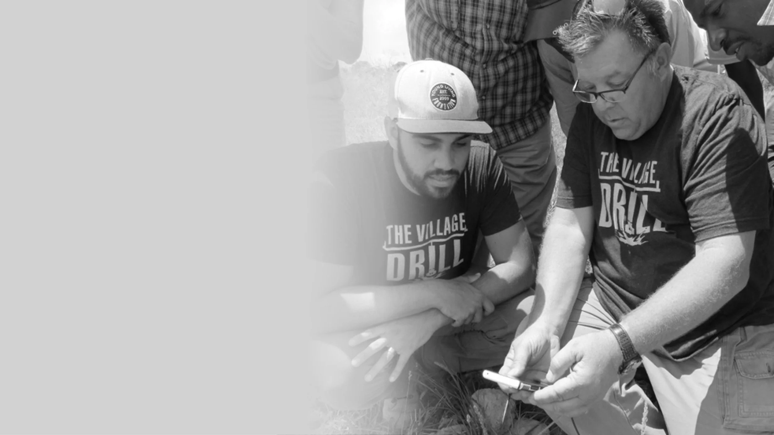
GeoVue has already been used by humanitarian drilling operators such as WhoLives and VillageDrill to improve borehole siting success in water-scarce communities. By increasing drilling accuracy, scarce funding is used more effectively — reducing failed wells and maximizing impact.Maximize Donor and NGO Budgets
In humanitarian projects, every dollar matters. GeoVue helps ensure that drilling funds are directed to the most promising locations, reducing costly dry holes and allowing organizations to serve more communities with the same budget.Low-Cost Deployment in Remote Areas
Minimal equipment requirements make GeoVue suitable for remote and developing regions where transporting traditional geophysical equipment is impractical or cost-prohibitive.Support for Charitable Initiatives
GeoVue is committed to supporting humanitarian work. We are willing to assist with processing and technical support in genuine charitable cases to help improve access to safe water and sustainable development outcomes. -
Identify Ground Risk Before Construction Begins
Early detection of weak zones, instability, voids, or problematic formations reduces costly design changes and construction delays.Reduce Over-Engineering Costs
Accurate subsurface mapping allows engineers to design foundations, piles, and roadbeds based on real conditions rather than conservative assumptions.Accelerate Project Timelines
Rapid surveys enable faster pre-construction assessments, supporting tight development schedules.Lower Litigation and Remediation Risk
Better subsurface understanding reduces the risk of post-construction failures and expensive remediation work. -
Improve Targeting Accuracy
Mapping ore boundaries, formation interfaces, and subsurface temperature profiles enhances resource targeting and reduces exploration risk.Lower Exploration Costs
Low-cost, high-density data acquisition allows broader coverage without the financial burden of large survey crews.Increase Asset Valuation
Quantified subsurface intelligence strengthens feasibility studies and investment cases.
Pricing
Free Processing Access
The free trial allows you to explore GeoVue at no cost, with 1000 meters worth of processing credits provided free of charge when you open your account so you can evaluate the full app feature set. It’s a practical way to experience the technology, understand how it works, and decide if it’s the right solution for your project.
Full Processing Access
GeoVue tokens are the internal currency used to process and unlock your subsurface data, with each token costing US $0.20. One token equals one meter of depth at one survey point, and in the commercial version, you fully own your results — GeoVue cannot access your data. A minimum purchase of 50 tokens (US $10) is required, and you can scale up to view and own depths of up to 1000 meters at each location.
Data Evaluation
A 15-minute private data evaluation consultation gives you the opportunity to ask questions and get clear, direct answers about your project. If you’re unsure whether GeoVue is right for your site, goals, or conditions, we’ll help you understand what’s possible. It’s a simple way to gain expert guidance and move forward with confidence.
Turnkey Consultation
Should the client want GeoVue to provide full service in processing, reporting and presenting on a project, this will be charged at a cost of $1.00 per meter processed, with a $2000.00 minimum charge. The client must supply the recorded data files, then we will take it from there, manually evaluating each data set for quality, processing the data, reporting on the project and most importantly, delivering an online video presentation of the findings to the client, where the project can be discussed in detail.
All account registrations, purchases, consultation bookings and account features are run through our processing server atsps2.net. You will be redirected there if doing any of these things
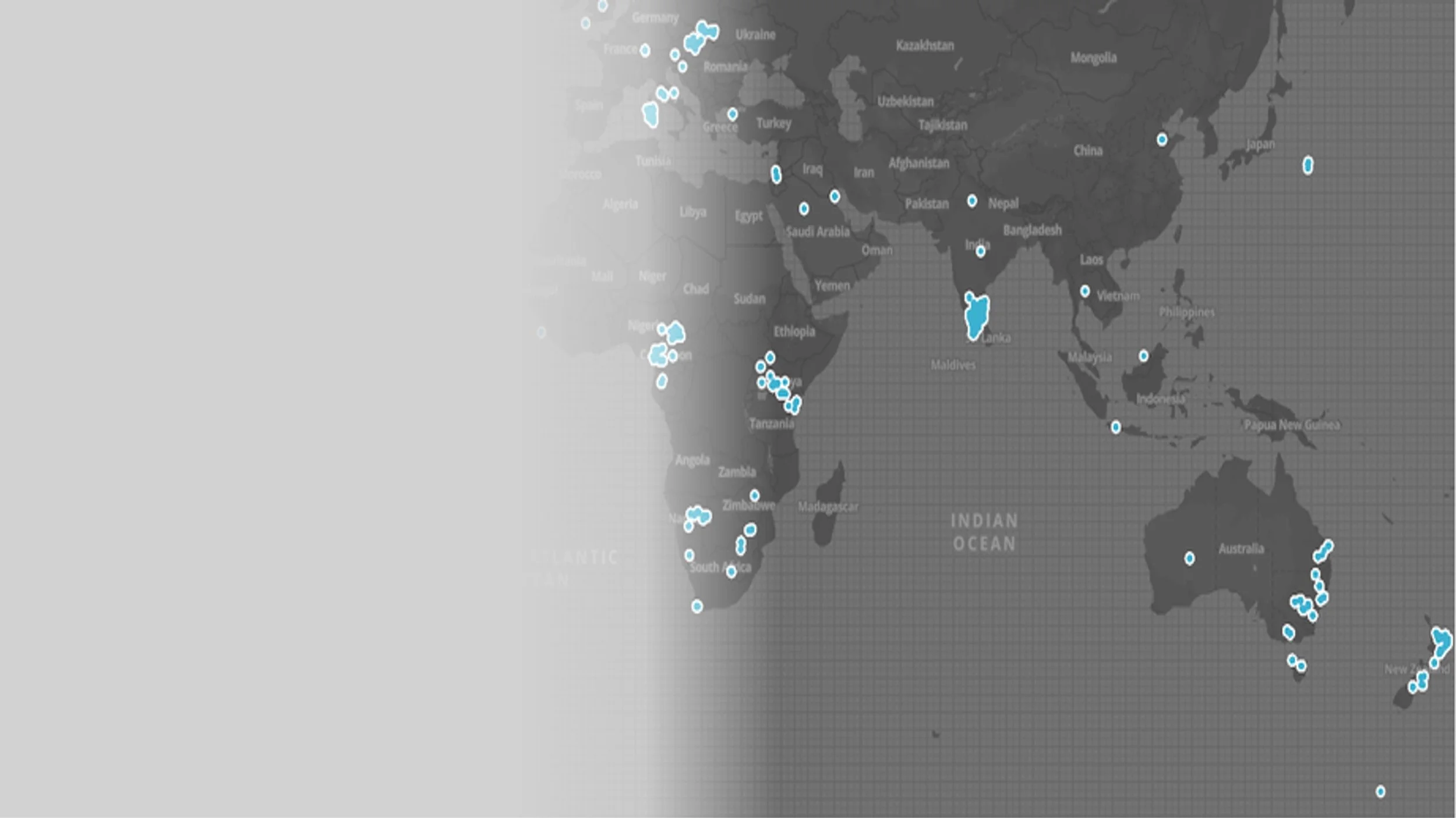
Where GeoVue Has Been Applied
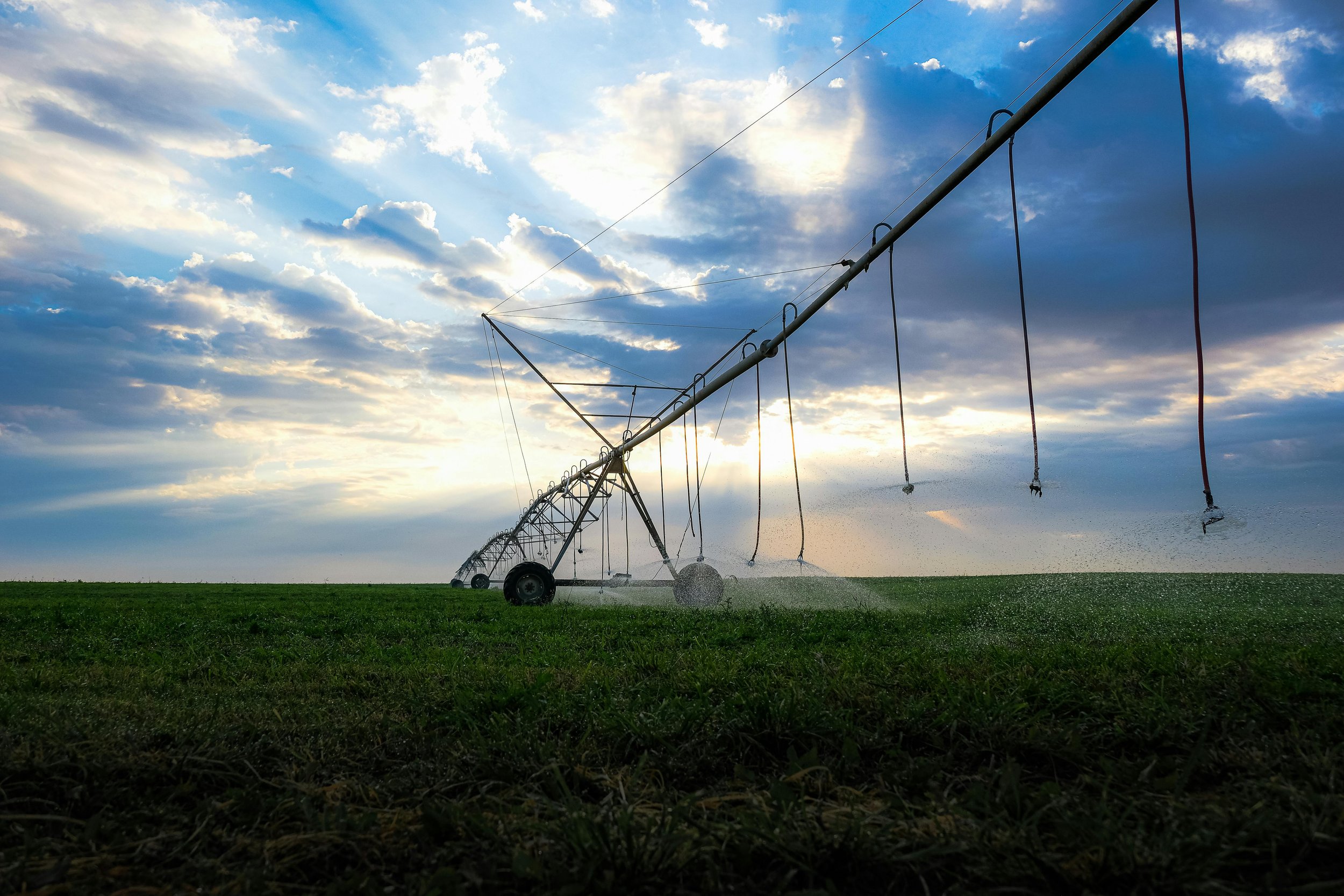
Groundwater
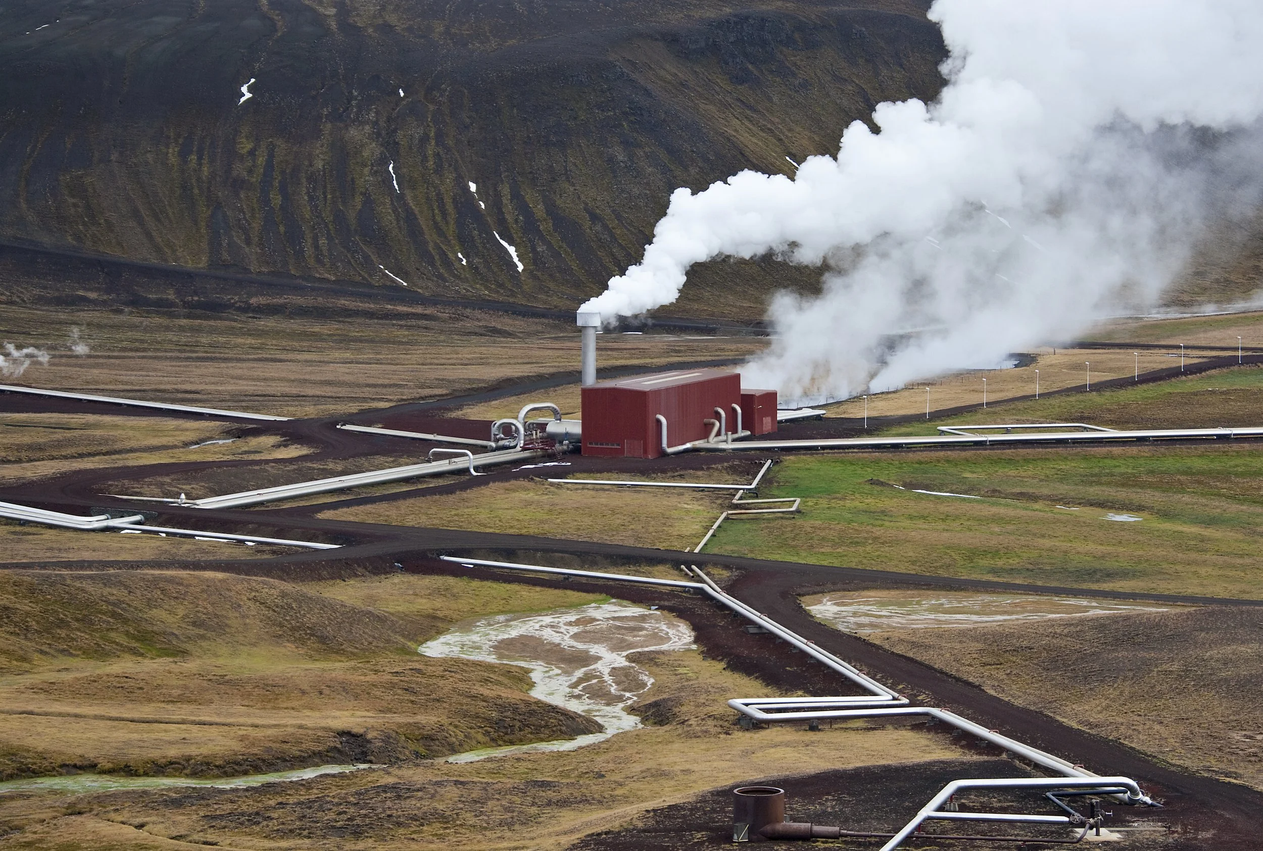
Geothermal
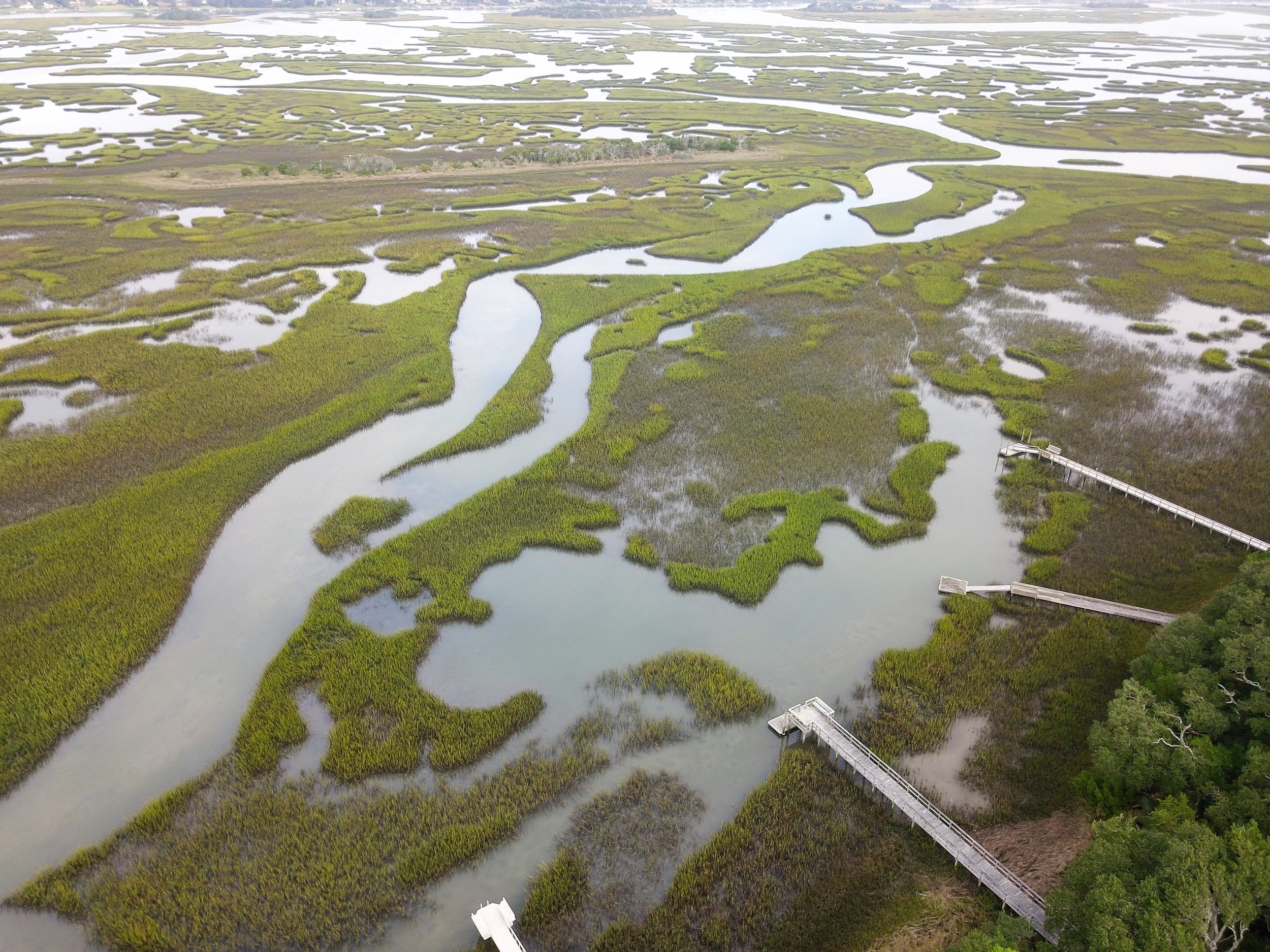
Environmental
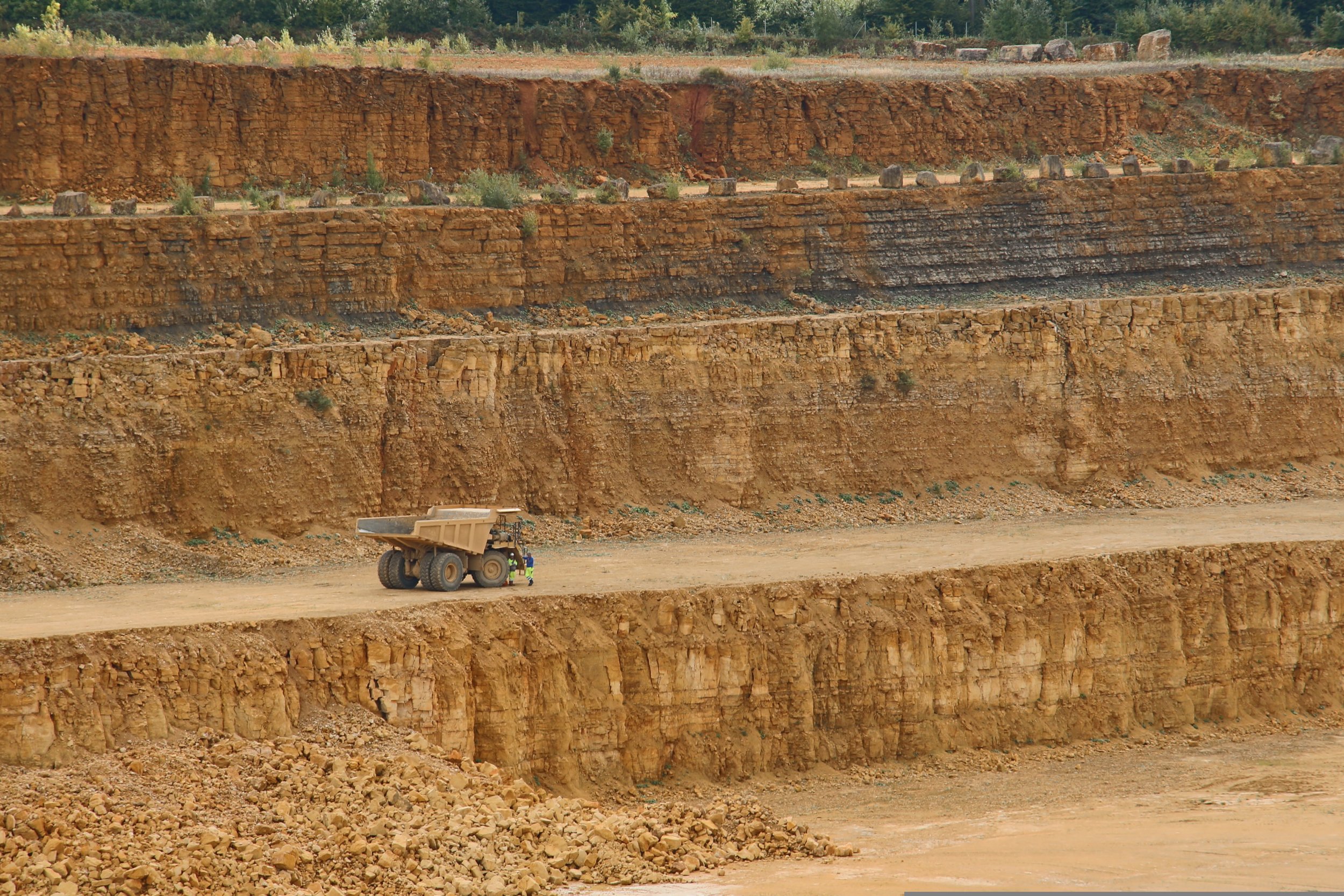
Mining
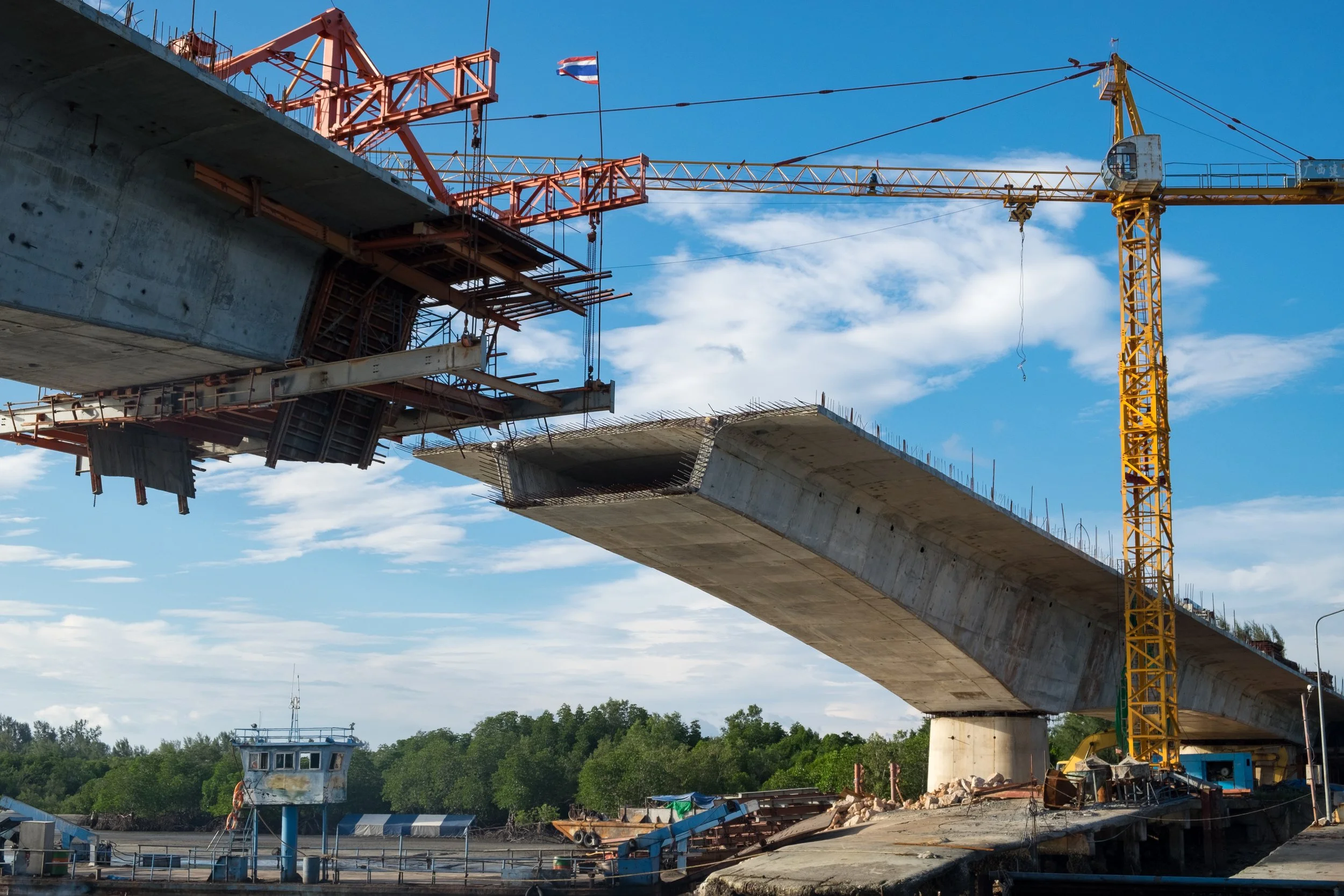
Construction
Clients, Reviews, Articles and Publications

Santana Minerals – Mapped quartzite veins and identified aquifer positions to support mineral exploration.
Kauri Cliffs (Northland) – After losing creek water rights, this premium golf course required a new groundwater source. A highly successful well was drilled, securing irrigation and service water for the facility.
Surf Park Central (Auckland) – For this major surf park and server park development, GeoVue sited and supported drilling of a 700m deep well in a geologically complex area near old volcanic formations, ensuring reliable water supply.
Drill Force (New Zealand) – A leading multi-disciplinary drilling contractor. For over 10 years, GeoVue data has helped Drillforce better understand geology and formation boundaries, maintain correct mud pressures, and plan casing and screen installations before drilling.
Basset Plumbing & Drainage – For a 5,000-house land development, GeoVue sited water wells to ensure reliable supply.
Fulton Hogan Land Developments – Wells were sited for a 4,500-house development on Auckland’s North Shore.
Seeka (Bay of Plenty) – One of New Zealand’s largest kiwifruit growers required a new water well for a large-scale orchard development.
New Zealand Steel (South Auckland) – Two highly successful water wells were sited for a land development project.

Owl Farm (Waikato) – A high-intensity dairy farm bordering the Waikato River required insight into natural groundwater discharge, effluent management zones, and optimal placement for a new production well.
Rotorua Lakes Council – GeoVue sited multiple hot wells used for heating commercial properties and pool complexes. The system also mapped thermal activity near the historic museum to assess heat movement beneath the building.
Southern Cross Horticulture – GeoVue sited 25 wells in a complex geological area, all producing reliable water for large-scale kiwifruit orchards.
Palmerston North City Council – As the city expanded, GeoVue sited several new deep community wells and assisted with assessing the long-term sustainability of existing water supplies.
Barker & Associates – For a 5,000-house development, GeoVue sited new water wells to support environmental management and sustainable water use planning.

Aera Energy (California) - Mapped out heavy oil hydrocarbon fields and evaluated the effectiveness of steam injection operations.
Coal of Africa Ltd. (South Africa) - Mapped out coal resources, intrusive formations and saline aquifers for planned mining operations.
Dept of Water Affairs (South Africa) - Developed groundwater supply in rural development projects throughout the Free State.
TaraRua District council (New Zealand) - Mapped out groundwater aquifers for city water developments.

World Resource Institute - Aquifer mapping studies conducted.
Australia - Mapped out strategic mineral lensing within granite formations.
New Zealand - Mapped out aquifer systems of groundwater supplies.
New Zealand - Mapped out aquifer systems at multiple locations for groundwater supply development and pollution investigations. Multiple wells were drilled
South Africa - Mapped out coal resources for mining operations.
South Africa - Mapped out coal seam for planned UCG project.
California - Mapped out saline intruded aquifers at a depth of 700mbgl looking for potable irrigation water supplies.
New Zealand - studied multiple existing geothermal wells to a depth of 2400mbgl to improve the knowledge base of these wells.
Australia - Mapped out tight gas, low permeability Strezaleki formation in area where seismic methods had failed.
Switzerland - Mapped out multiple site salt beds for in-situ salt mining
New Zealand - Mapped out aquifer systems for targeted drilling program, water development project.
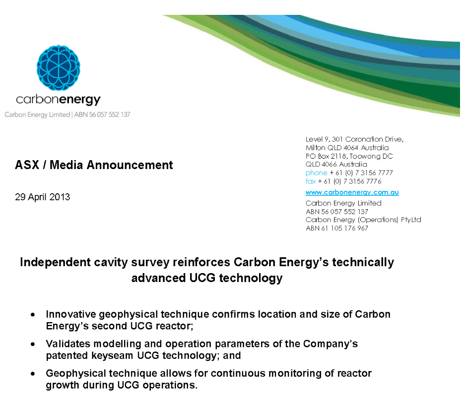
New Zealand - Mapped out a underground coal gasification cavity at a depth of 700mbgl. The study identified major issues with the UCG burn mechanics that had not been known.
South Africa - Mapped out slope stability between the site overburden and ore body interface.
South Africa - Multiple groundwater aquifer mapping projects conducted.

New Zealand - Assisted in delineating aquifer systems for targeted drilling.
Mercury Energy (New Zealand) – A major geothermal energy producer. GeoVue has supported geothermal development and subsurface mapping projects.
Australia - delineated the size shape and growth rate of the cavities of multiple underground coal gasification projects.
CarbOnEnergy - Energy resource development projects. (Australia)
New Zealand - Mapping out Wellington harbor gravel beds to assess dredging risk to the aquifers. Conducted over water.
New Zealand - Conducted various studies on existing geothermal well to help resolve flow issues.
Australia - Mapped out a underground coal gasification cavity.
Client Reviews
“We use the GeoVue app system on all our projects in Australia for mapping aquifers to help landowners site water bores. Drilling results confirm survey data and importantly our clients are happy with the survey outcomes. ”
— Kim Hiller (Aquifer Mapping Australia)“We INDOGEO CONSULTANCY PVT LTD providing hydro geological consultancy services in INDIA for the last 10 years. We find the app very good to use and very accurate. Our drill design team also benefits with planning wells before they have been drilled. ”
— P Muthusamy INDOGEO CONSULTANCY PRIVATE LIMITED“Once the well was drilled and the casing / liner graveled packed and cemented in place, water production capacity [by an air-blow test] was estimated to be approximately between 300 - 400 gallons per minute, which is a significant increase in my original well’s production capacity performance of 40 – 0 gallons per minute, thus confirming the prolific nature of the groundwater sands proposed through the Electro – Seismic evaluation.”
— John Patterson (California)“the GeoVue technology’s ability to map injected high temperature / high pressure steam within a heavy oil reservoir is extremely valuable. Steam injection is a huge cost in a Steamflood and until now, as an operator, we simply have not had the technology available to see where the steam volumes were being distributed throughout the subsurface; thus making it very difficult to properly manage this particular resource and, at the same time, enhance our oil recovery. ”
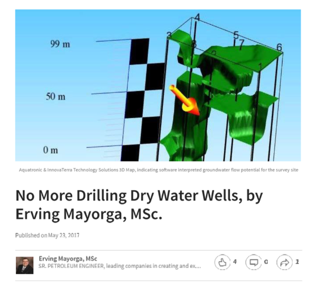
— Erving Mayorga, MSc (Innova Terra Technology Solutions, LLC, California)“From a drillers perspective the information this technology adds is extremely valuable. It allows us to confidently understand our forward drilling program and adjust our drilling mud pressures accordingly. It also allows us an understanding on screen lengths and approximate casing details prior to actually drilling the well.”
— Mel Griffiths
Griffiths Drilling (NZ) Ltd
“Personally, I have used Aquatronic for hard and soft rock interpretations in Australia and in the USA. The technology has been used on gold bearing quartz drilled controlled deposits with a high degree of accuracy.”
— Ian MacCulloch, Managing Director, Coomooroo Explorations Pty, Australia“We operate in a lot of volcanic and trying geology types. We are often drilling to 400m + depth agricultural, horticultural, irrigation and community water wells. Of late we have used the service to run their aquifer and geology mapping technology over some of our jobs in several different counties and districts prior to drilling the wells.
We have been most impressed with this technology.”
— Mark Carlyle, Carlyle Drilling Limited (New Zealand)“Salt Partners identified a well-known salt deposit and obtained the permission from the owners for electro-seismic mapping and comparison of the 3D model with the known geological structures. The resulting 3D model accurately predicted the ceiling and, after calibration of seismic velocity in halite, also the bottom of the salt layer and the formation underneath.”
— Vladimir M. Sedivy
President, Salt Partners Ltd, Switzerland
“We were very impressed with the high resolution and accuracy of your report and the low environmental foot print was a key component for Lake’s Oil”
— Robert Annells, Chairman, Lakes Oil N.L., AustraliaArticles
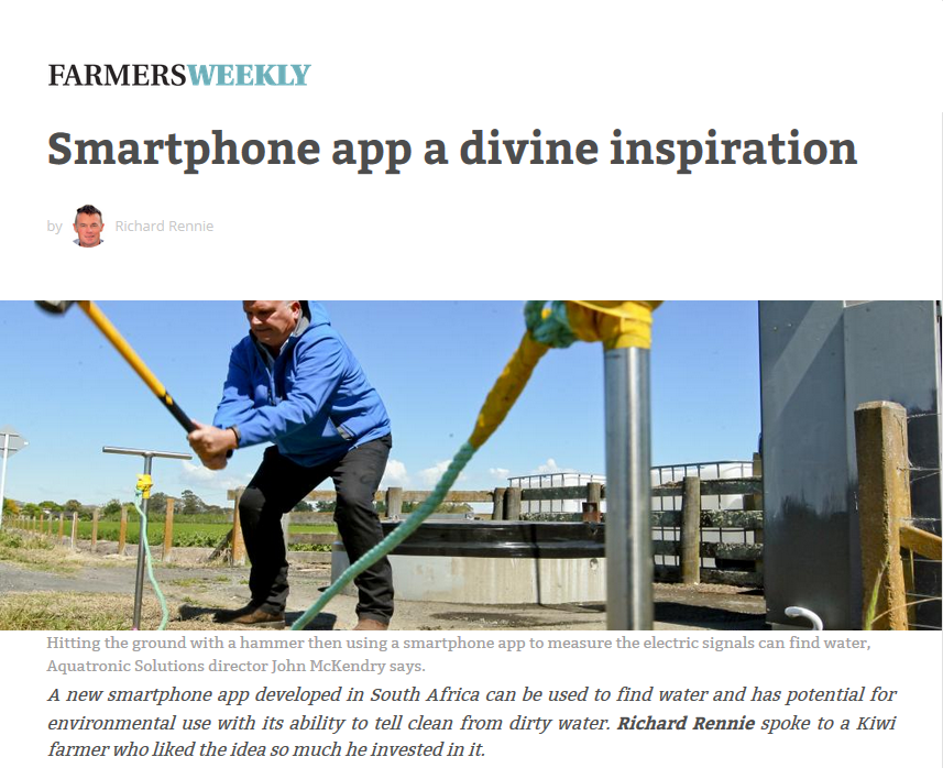
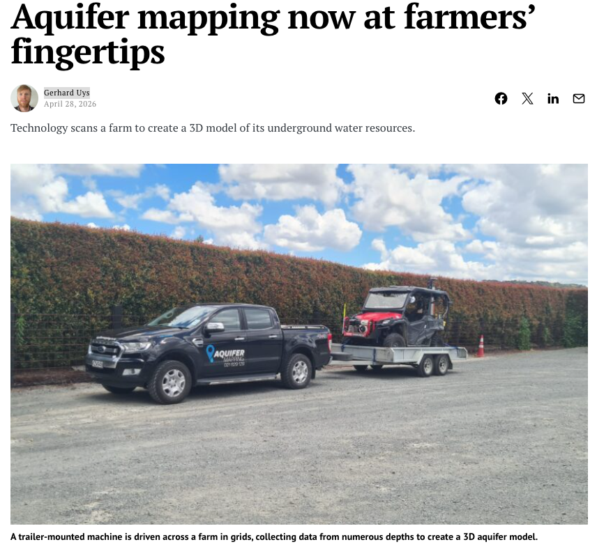
Farmers Weekly article on the GeoVue app
ASX announcement on the use of the GeoVue system on UCG cavity mapping in Australia
Linkedin article on the use of the app in California
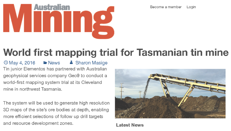
Article on the use of the App on tin mine mapping projects in Australia
Farmers Weekly article on the GeoVue
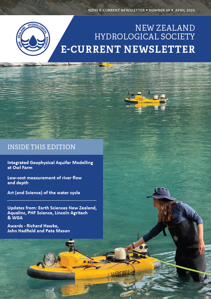
New Zealand Hydrological Society Owl Farm Article
Publications
Paper - Case studies for detecting dam seepage with electroseismic geophysics
Paper - Electro-Seismic Survey System
Paper - ELECTRO-SEISMIC SURVEYS APPLIED TO MODELING OF GROUNDWATER FLOW SYSTEMS
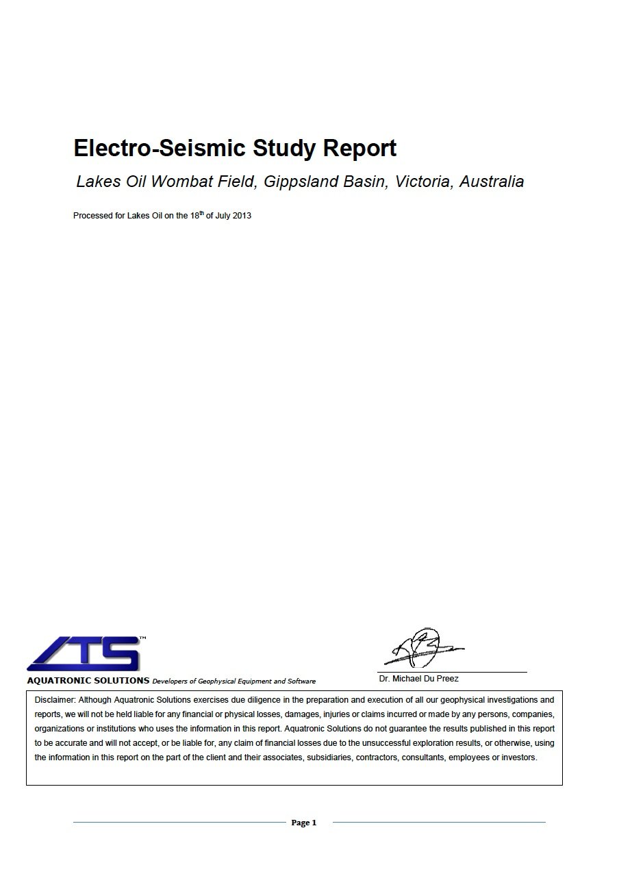
Report - Electro-Seismic Study Report Lakes Oil Wombat Field, Gippsland Basin, Victoria, Australia
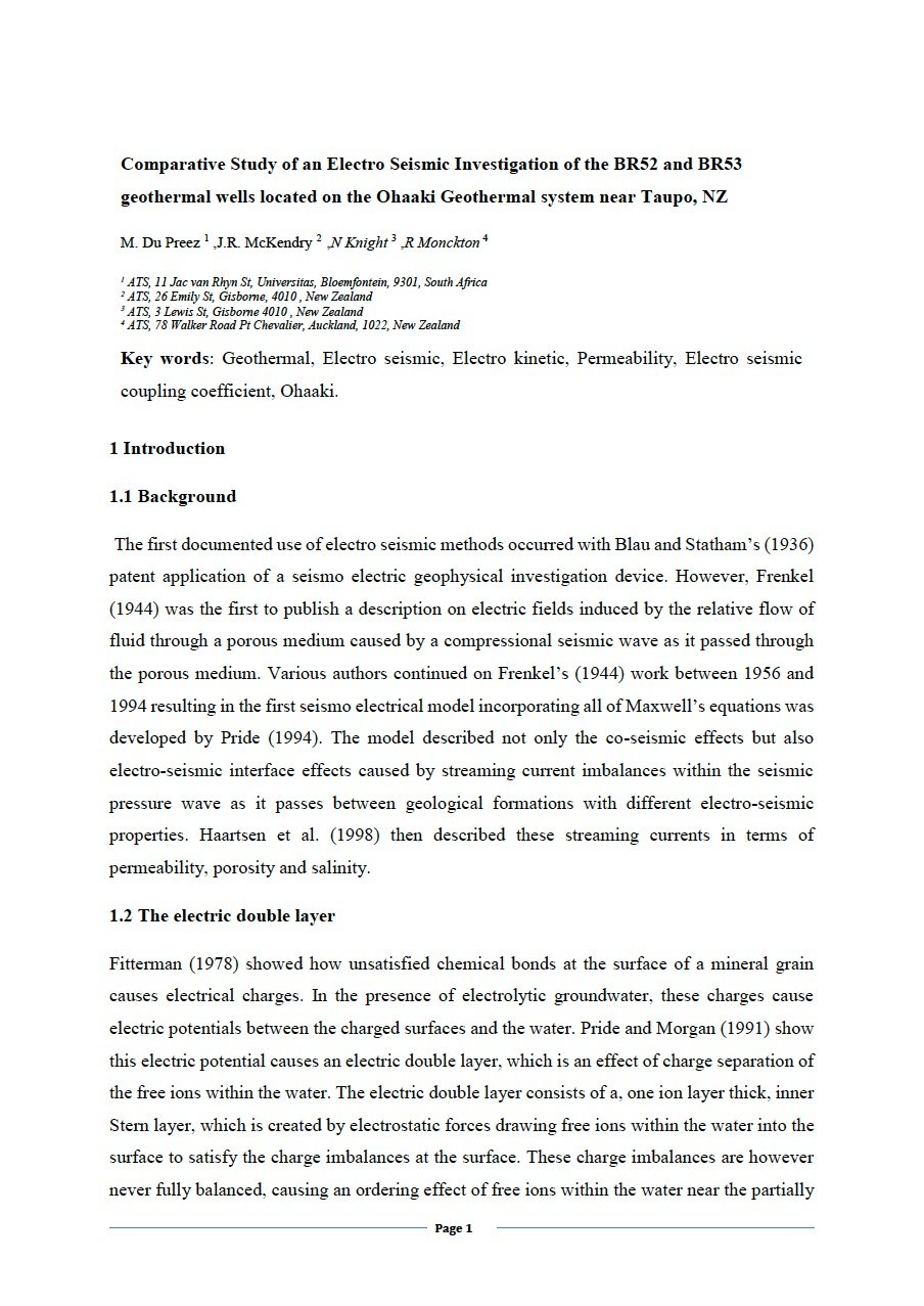
Paper - Comparative Study of an Electro Seismic Investigation of the BR52 and BR53 geothermal wells located on the Ohaaki Geothermal system near Taupo, NZ
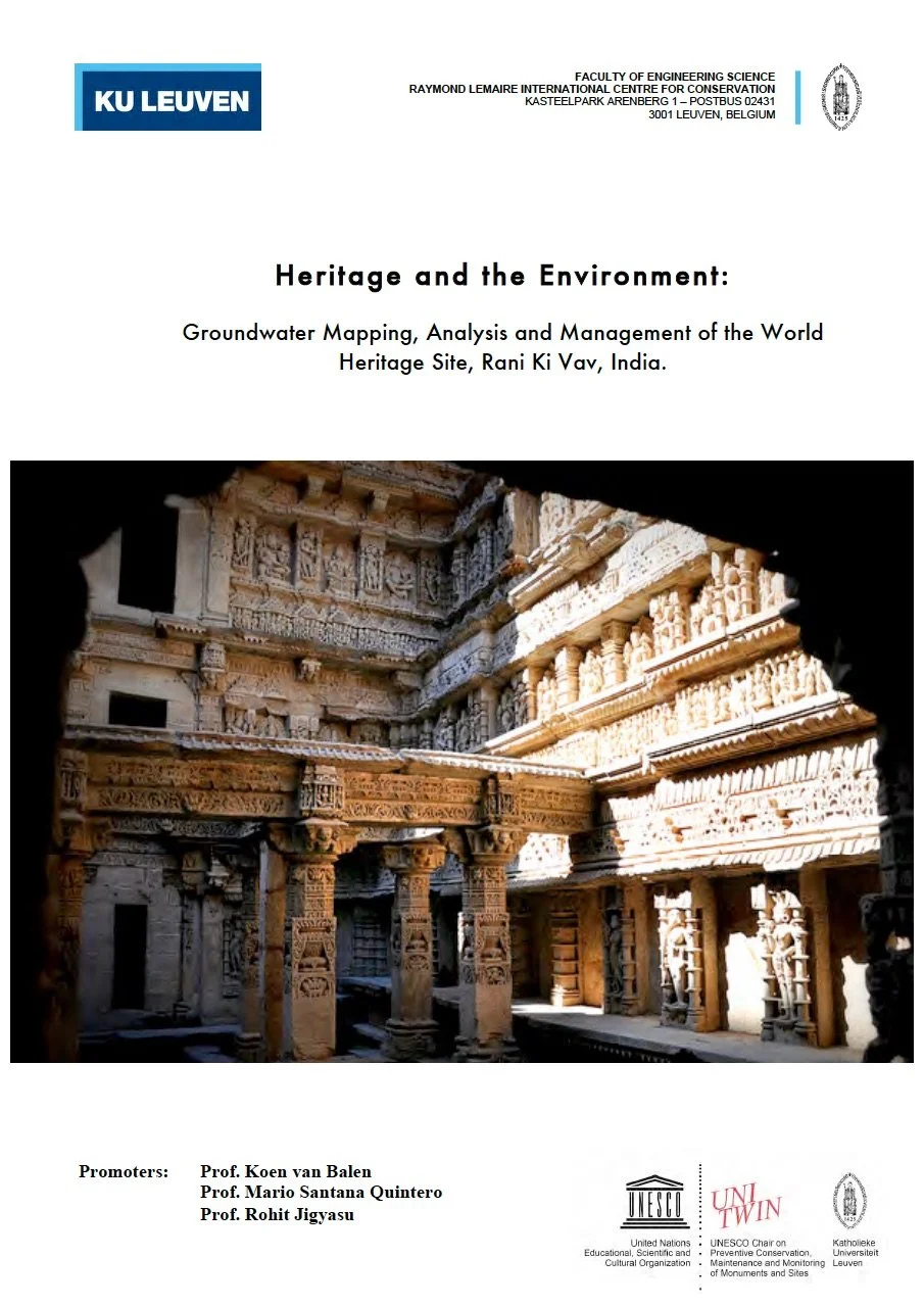
Thesis - Heritage and the Environment: Groundwater Mapping, Analysis and Management of the World Heritage Site, Rani Ki Vav, India.
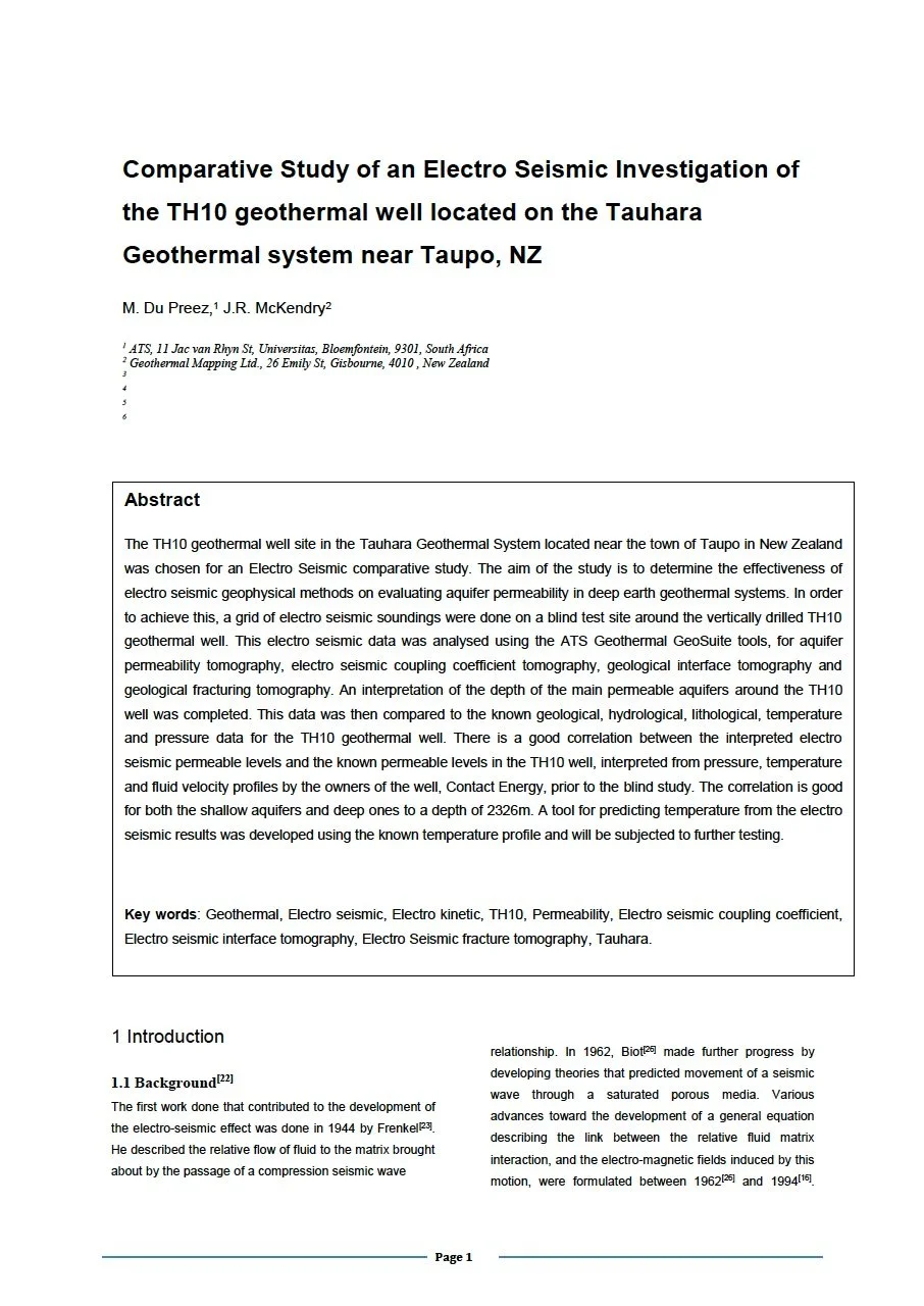
Paper - Comparative Study of an Electro Seismic Investigation of the TH10 geothermal well located on the Tauhara Geothermal system near Taupo, NZ
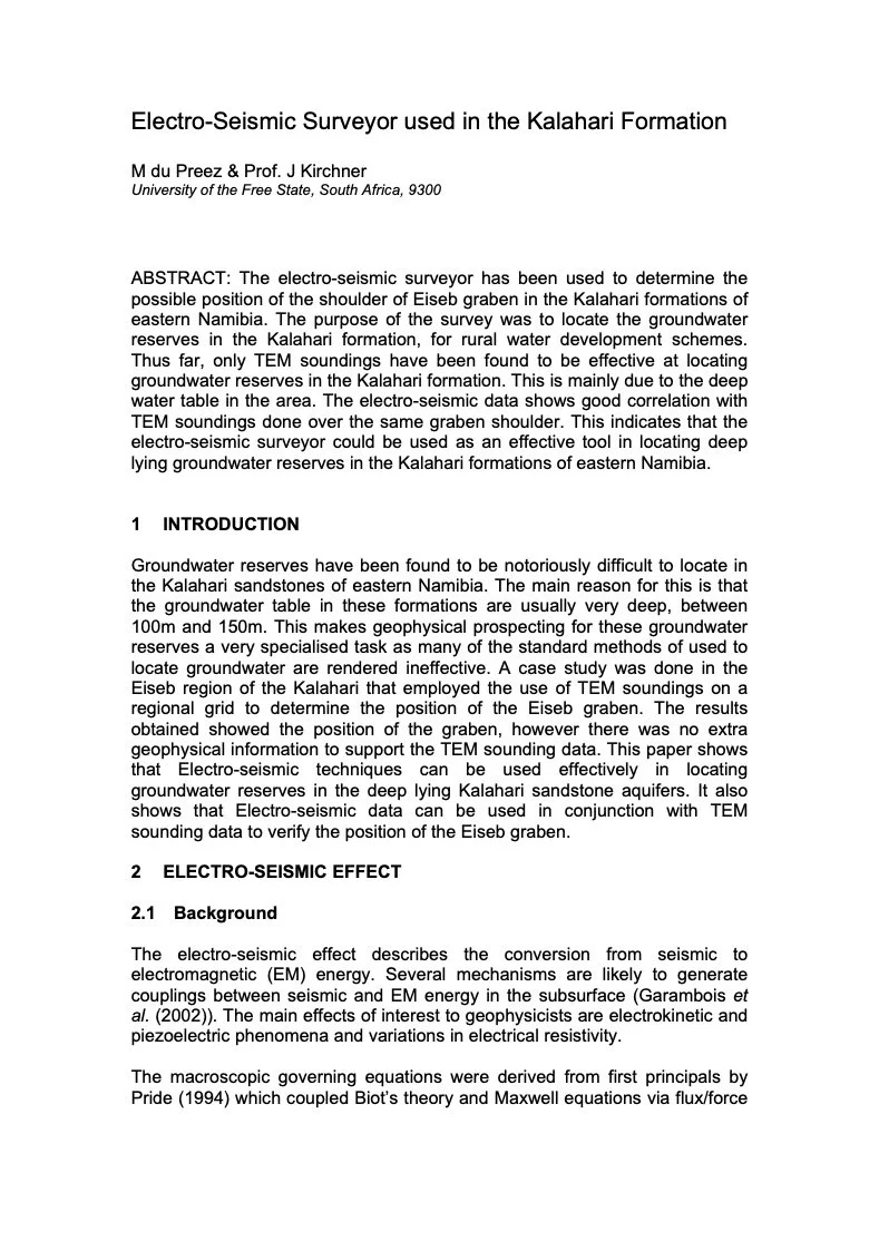
Paper - Electro-Seismic Surveyor used in the Kalahari Formation
introducing SEISMOSAL a New Revolutionary Method of Prospecting for Salt Electro-Seismic Mapping of Salt Deposits of Swiss Salines at Riburg, Switzerland
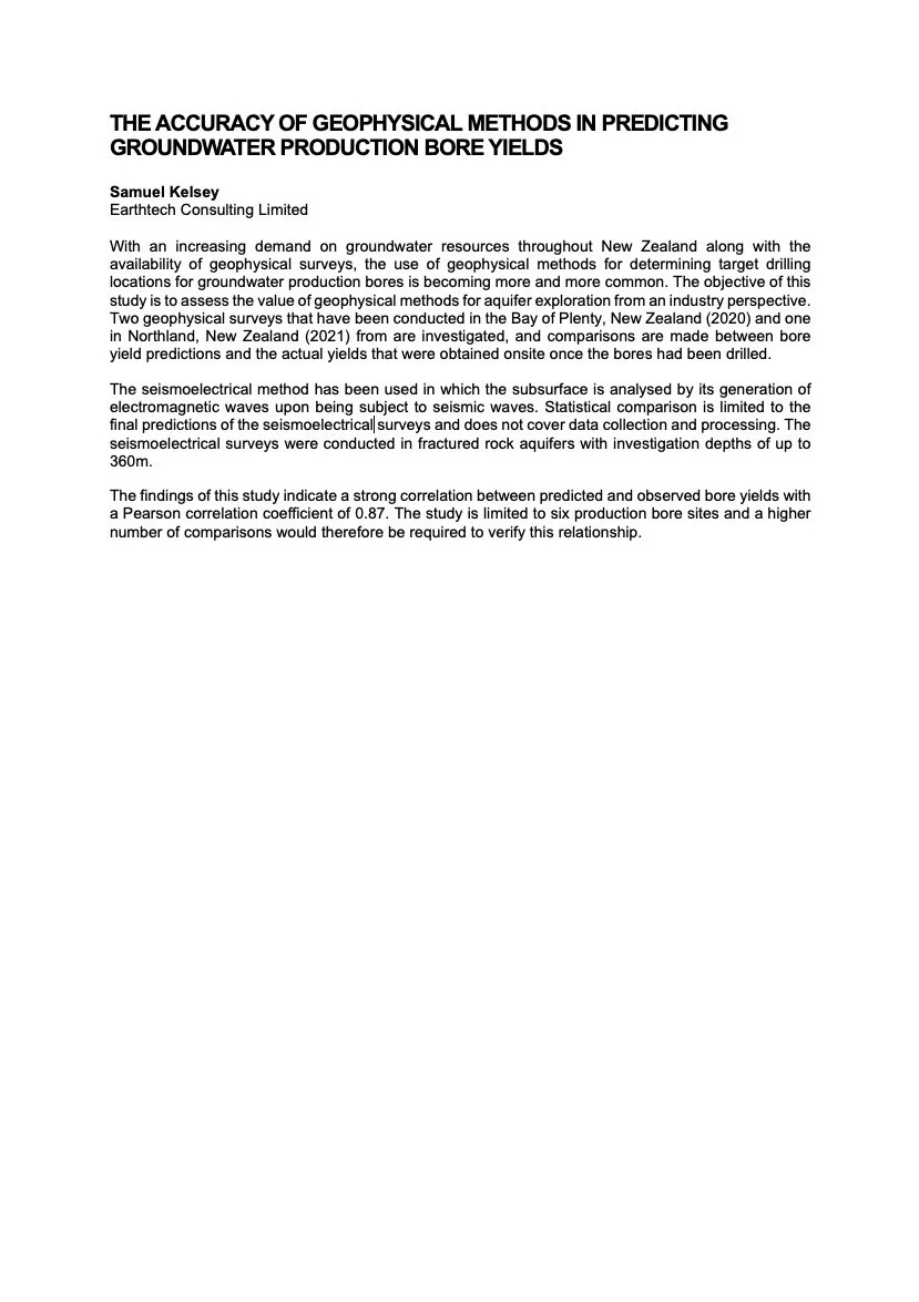
Conference Presentation - THE ACCURACY OF GEOPHYSICAL METHODS IN PREDICTING GROUNDWATER PRODUCTION BORE YIELDS
Paper - Hikuwai Bridge Geophysical Investigation A case study for using seismo-electric geophysical methods to delineate geological structures in geotechnical applications
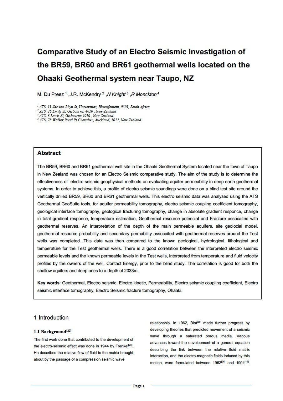
Paper - Comparative Study of an Electro Seismic Investigation of the BR59, BR60 and BR61 geothermal wells located on the Ohaaki Geothermal system near Taupo, NZ
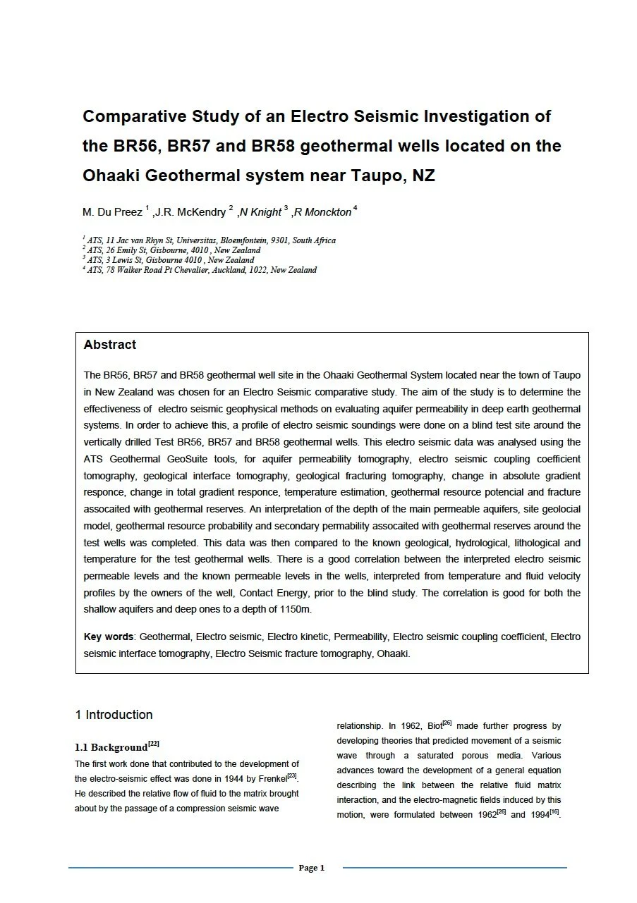
Paper - Comparative Study of an Electro Seismic Investigation of the BR56, BR57 and BR58 geothermal wells located on the Ohaaki Geothermal system near Taupo, NZ
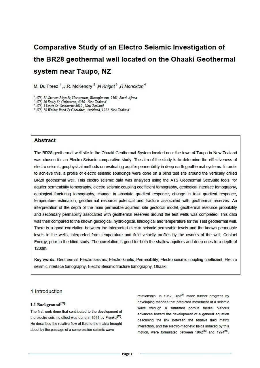
Comparative Study of an Electro Seismic Investigation of the BR28 geothermal well located on the Ohaaki Geothermal system near Taupo, NZ
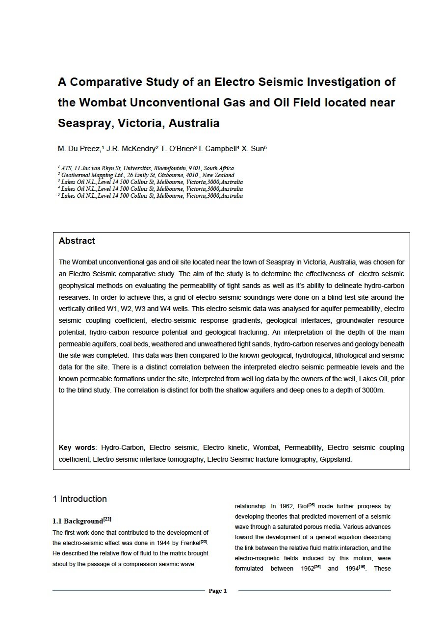
Paper - A Comparative Study of an Electro Seismic Investigation of the Wombat Unconventional Gas and Oil Field located near Seaspray, Victoria, Australia
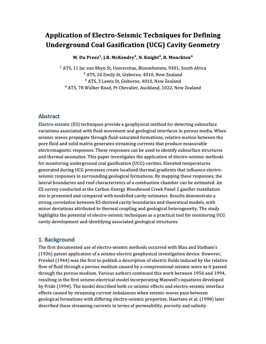
Paper - Application of Electro-Seismic Techniques for Defining Underground Coal Gasification (UCG) Cavity Geometry